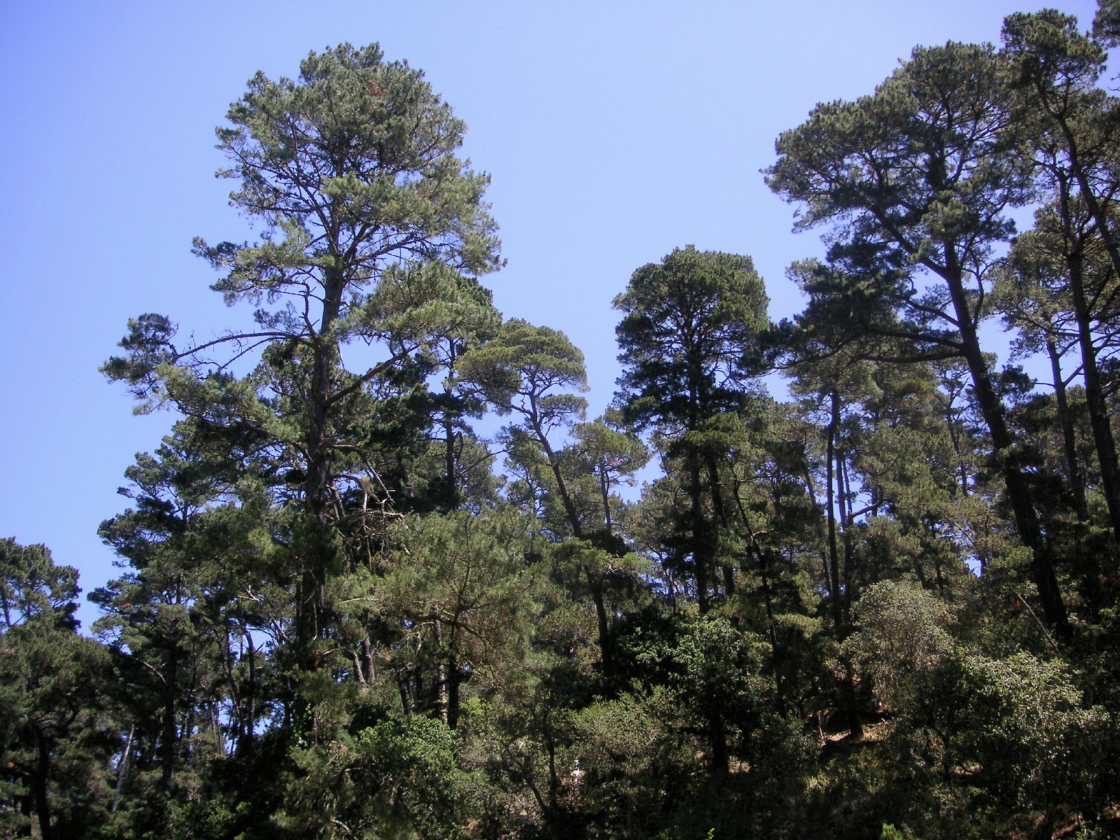
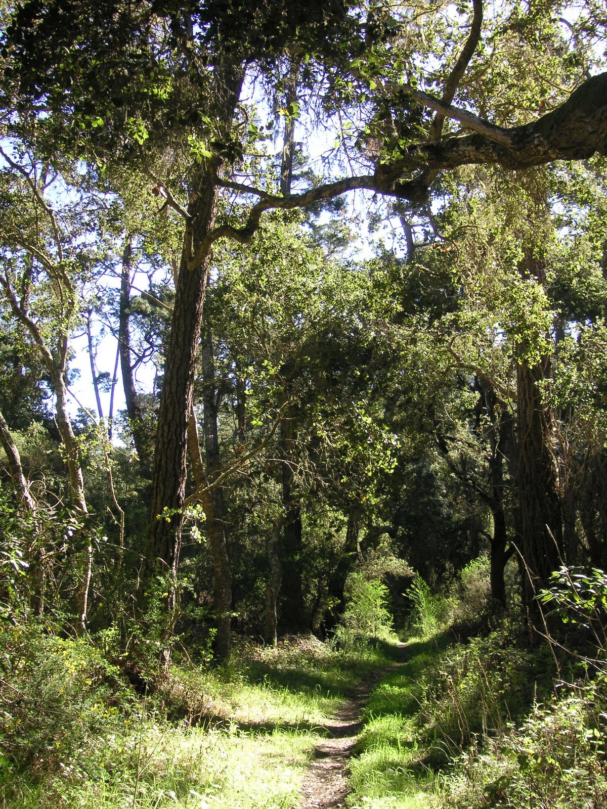
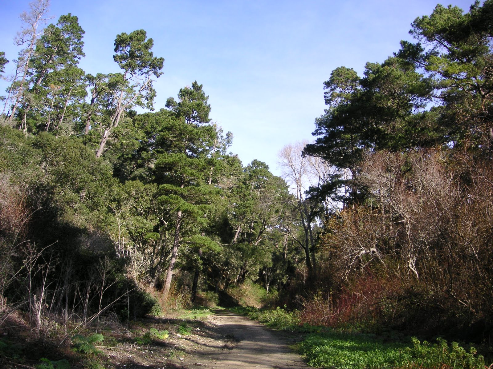
Showing posts with label monterey pines - also. Show all posts

Monday, March 31, 2014

habitat ~ 03/31/14 ~ Jacks Peak County Park

Jacks Peak County Park
March 31, 2014

posted 04/04/14 - Zowie!  The poison-oak is going gangbusters, creeping over everything on the lower slopes of my favorite access trail to Jacks Peak.  Within 2 days of this visit, I may have developed my first-ever poison-oak rash.  Bummer.  They're just little red bumps that itch like crazy, nothing like the oozing sores Andy gets weeks later from his trail running in shorts.

Under all that poison-oak in the first photo, there's also a dusky-footed woodrat stick midden on the fallen trunk.  I find it interesting that some of them prefer to build their houses up off the ground.  I'm so happy the bright spring green has finally arrived.  A little late, but I'll take it.  And, thanks to having recently hiked in a different kind of pine forest at Lewis Creek and seeing the contrast, I now recognize there are sections of the access trail that have absolutely nothing growing down below.  It feels really old and static in there with feet deep, cushy soft layers of pine needles.  The Monterey Peninsula is famously referenced as one of the last remaining stands of native Monterey pine with Jacks Peak crowning it all.

Friday, February 28, 2014

habitat ~ 02/28/14 ~ SFB Morse Botanical Reserve


posted 03/03/14 - Rain.  Lots of rain.  Rivers of rain.  Yay!  I got totally soaked, and I loved it.  And, great rumbling thunder, too!... erm, okay, it was a little scary under the towering, swaying Monterey pines.  I've been coordinating another excursion with a fellow blogger, but then it occurred to me that I don't have to drive 2 hours north in order to hike in the rain.  It only takes 10 minutes up the hill by car to get to the end of a PG road where I park.  Then I walk into Pebble Beach to avoid paying the toll road fee ($10!) to get to Del Monte Forest Conservancy property.  Andy regularly runs through here from home.  I should visit more often.  This SFGate article mentions obtaining a "Pebble Beach Nature Trails" map from the local hotels; I always wondered about the colored trail markers but had no idea how to obtain information.  This location includes the surrounding Huckleberry Hill Natural Habitat Area with a cute pygmy Gowen cypress forest.  I  have plenty of IDs to post from this amazingly diverse location, which is being actively managed.  Hopefully, at some point I'll add the details later.  But, for now, I'm off on another adventure...

Friday, February 21, 2014

habitat ~ 02/21/14 ~ Hatton Canyon State Property

Hatton Canyon State Park Property
February 21, 2014

Heavy sigh... patience is a virtue I am frequently short on.  Whatever happened to the plans to pave a bike trail here?  Does anything ever get done anymore?  Seriously, I look around at every level of government and wonder how do we actually make progress?  How did they do it during so much turmoil in the 30's and 40's?  My uncle, the archetypal retired history teacher, talks all the time about how our current situation parallels that era.  I don't have an answer, mainly because there's so much I simply don't understand.  I'm putting all my faith in the people who claim they want to figure it out and get it done, i.e, elected officials.  Groan.

Where was I?  Oh, yeah... the best accounting of the bike path drama I could find is this July 23, 2008 Herald article hosted by the Transportation Agency for Monterey County (TAMC).  Erg.  I'm totally guessing a handful of homeowners may be threatening a lawsuit that CA State Parks can ill afford, if it's not currently being battled out.  I'm not sure why I hold such a bad opinion of some local homeowners, but, in their defense, they're often unduly cowed by the cities they live in.  However, they already won in court while rejecting a Hwy 1 reroute through Hatton Canyon back in 1997.  I'm glad they saved the canyon, but the predicted result has been horrific highway gridlock, especially around the high school and during regular commuter hours.  My understanding is that as part of the agreement of land transfer from Caltrans to State Parks in 2001 (scroll halfway down page), the bike path legally has to be put in as a condition of not building the Hwy there.  Poor State Parks can't even provide an online description of Hatton Canyon after 13 years.  So, who has more rights, the homeowners with all their negativity towards change, who I might point out technically do not own Hatton Canyon, or the people of California?  Who has more money?

As a daily user of the extremely successful Rec Trail, I am totally for this new bike path.  Currently, there is no easy way to get from Monterey/PG to the Mouth of the Valley by bike or on foot without having to traverse busy sections of Hwy 1.  Andy and his Saturday morning, trail-running cohorts have tried several times to find a better route, with no success.  I'm sure there are plenty of people who would prefer biking to work or school through a beautiful wooded area, rather than sitting in stinky exhaust, standstill traffic.  Isn't that a good thing?  For every commuter bicyclist, there's gotta be one less car on the road.  I would think the surrounding homeowners would find they prefer reduced traffic congestion and a way to get from place to place without getting in the car themselves.  Maybe the problem lies in connecting the trail safely on the north end, closer to Hwy 68?

As it is, Hatton Canyon is being used as a personal dog pooping park with private trails to many backyards.  I'm wondering if someone with enough money wants to keep it that way, despite the total neglect otherwise.  Fortunately, I saw very little dog poop this time compared to the first time I visited Hatton Canyon.  I don't know if the new dog poop bag dispensers have anything to do with the improvement.  Who pays and supplies the bags?  The whole thing is ironic, because there's been so much vocal opposition to putting in a dog park in Carmel Valley.  Obviously, our area needs one.

I'd love to see some attention and management paid to this lovely spot.  There is so much potential!  Here's the Carmel Area State Parks General Plan from 2012 that looks interesting. As I was searching for information, I noticed the Big Sur Land Trust has quietly removed themselves since the last time I wrote about thisRana Creek has been involved, too.  Their work is distinctive, and I've seen them really grow as a company in the 11 years I've been in the area.  I personally think the Monterey Peninsula Regional Park District (MPRPD) would do an excellent job at balancing nature, access, and the neighbors at Hatton Canyon, but it's not their property to manage.  However, this kind of arrangement is not without precedent - the Morro Bay Golf Course is run by the San Luis Obispo County Parks on CA State Parks property.  If given my druthers, an agreement between MPRPD and CA State Parks could be a great solution.

Sigh... it's been difficult to find any information, so I honestly don't know what the current situation is.  I'm writing someone, TAMC or the District 5 County Supervisor Potter, to find out.  It's such a shame this lovely public land isn't being better utilized.

Some things to note on my pictures above...  It just occurred to me that the year-round crick of water is Hatton Creek, which provides a lush green that is hard to find right now during our severe drought.  Someone must be using this water, because there are pipes and manholes scattered throughout the property. Are the Hatton Canyon environmental lawsuits a facade for water rights?  I'm not serious, but nothing would surprise me anymore.  I'm including the oaks above, because I've neglected them in previous habitat posts.  And, the Monterey pines are looking sorry indeed with lots of dried up parts.  I'm looking forward to more rain.

ps 02/27/14 - I apologize if anyone's blog feed got messed up.  I edited this a gazillion times, because I kept finding biased errors in my assumptions.  I feel a sense of responsibility in getting my facts straight when expressing my opinions.  I'm sure there's a lot I don't understand.

Todd Muck, Deputy Executive Director of TAMC, kindly replied to my query and gave me permission to quote him on my blog.  He said, "Due to the opposition to converting the dirt service road into a paved bike path, the Transportation Agency for Monterey County's Board of Directors elected to not construct that portion of the project when we constructed the tunnel under Carmel Valley Road and the paved path to Rio Road.  The unpaved portion remains in TAMC's Bicycle and Pedestrian Master Plan as a potential future project, but there is no longer any funding dedicated to pursing the project."  He also pointed me in the direction of Victoria Beach, a Carmel City Council Member, who's organizing a citizens trails group.  Interesting.  I'll check it out.

Monday, December 23, 2013

habitat ~ 12/23/13 ~ Jacks Peak County Park

December 23, 2013

It's as if someone pushed the pause button on the seasons.  While the evergreen coast live oaks seem to be holding their own as usual, the Monterey pines look thinner and yellower around the edges.  Closer to the ground, there's a sense of bursting at the seams, of impatiently waiting for the starter's pistol of winter rains.  The push towards spring cannot be contained.  Dustings of green grass are making their best efforts despite the lack of water.  I also found fuchia-flowered gooseberries and monkeyflowers just beginning to show their cheery reds and oranges.  I'm curious to see how everything will fare in the coming months.  Surely, we will get rain, someday?

Honestly, I wasn't expecting to find much for IDs, but I really enjoyed this heart-pumping, hilly hike. The rich smell of pines that's so distinctive to Jacks Peak and the amazing views never cease to amaze me.  In the first picture above (click to enlarge) are several locations I feature on Nature ID, starting at about 11:00 along the water's edge: the Monterey Bay Aquarium towers, Cannery Row, San Carlos Beach, Coast Guard Pier, Rec Trail, Fisherman's Wharf, Wharf No. 2, and Municipal Beach.

Friday, May 31, 2013

habitat ~ 05/31/13 ~ Hatton Canyon State Property


After I first visited Hatton Canyon back on February 4, 2011, I wasn't terribly impressed by the proliferation of non-native plants and haven't had a huge desire to return.  I do remember the auditory intensity of bird songs, which prompted a second worthwhile visit this past March 10. Unfortunately without accompanying photos, it didn't inspire me enough to break out of my winter blogging hiatus to write about the birds.  Then when Monterey County butterfly guy Chris Tenney and I were figuring out where to meet for the first time, he suggested Hatton.  Oh? Turns out this place is a butterfly hot spot.  So, while there are mostly invasive plants, like poison hemlock, nestled adjacent to rare native stands of Monterey pines, the fauna density is quite impressive.  It's amazing what a few short years can do to change my opinions. I was starting to get sucked into nativism, just shy of biological xenophobia, something that's been in the forefront of my consciousness lately.  Maybe it doesn't really matter, beyond the concerns of humans, if the thriving plants originated here or elsewhere?  The animals certainly don't seem to mind too much.  Maybe it's better to let nature run its course?

Sunday, March 4, 2012

habitat ~ 03/04/12 ~ SFB Morse Botanical Reserve

SFB Morse Botanical Reserve
March 4, 2012

Pardon if some of this information sounds familiar, but I'm stealing partial descriptions from an earlier post on the federally threatened Gowen cypress...

I've hiked this part of exclusive Pebble Beach more often than I've featured on Nature ID. It's too bad, because this is apparently quite a place of botanical interest due to the numerous rare plants found along this ravine. It doesn't look like the usual muddy water path since it's so dry right now.

After almost 3 years of creating this blog, I'm still amazed how new information is continually presented on the internet and how those tidbits filter through to my brain differently each time I look up IDs. Considering I'm mostly self-taught based on my handful of field guides and park pamphlets (er, now huge piles of books and papers on top of a cabinet next to my home computer), and what I can quickly find on the internet, I casually meander through reported information, not too dissimilar to how I prefer to hike without a map.

So, I was very surprised to find an online PDF about how SFB Morse Botanical Reserve was created to protect the "endangered" Gowen cypress. First of all, I've called this spot Del Monte Forest for the sake of Nature ID, and I wasn't even aware this is a special botanical reserve. Andy and I have called it "poetry rock" for the longest time. From the PDF, I discovered there's another native species of cypress around here, just as I had no idea that there's another pine in addition to the Monterey pine (Pinus radiata) - the Bishop pine (Pinus muricata). Who knew? Both Monterey cypress and Monterey pine are, obviously given their common names, very unique to the local area, each with only 2-4 very specific locations of reported native populations in the world.

I may have to rethink my location labels. For a comparison of a similar photograph nearby under more typical weather conditions, check out my photo from Huckleberry Hill.

Saturday, March 3, 2012

habitat ~ 03/03/12 ~ Jacks Peak County Park

Jacks Peak County Park
March 3, 2012

Sometimes I feel a bit ho-hum blogging about places that I often hike. I've already blogged about this rare native closed-cone Monterey pine forest, how Andy regularly runs to this highest peak of the Monterey Peninsula from home, and the incredible views one can have from this big hill. Given the nature of the Monterey pine forest, I haven't noticed too much change through the seasons or the years, and yet it still takes my breath away. With the very warm 83.1°F this day, the scent of the native pines was soothing and amazing. For one little tidbit of new info, Jacks Peak is named after the same man who sold the first Monterey Jack cheese.

Sunday, December 25, 2011

habitat ~ 12/25/11 ~ Jacks Peak County Park


Jacks Peak County Park
December 25, 2011

For the record, I'm not sure if this County Park was officially open on Christmas Day, but we took one of several little-known trails up the hill. It starts off as coast live oak woods then gradually turns into Monterey pine forest as the elevation increases. In a couple spots, freshly fallen trees blocked the old trail. I was impressed with how soft the new trail was around these disturbed areas. It felt very spongy on the feet, as if I were walking underneath redwoods. I've heard this area is called a closed-cone pine forest from a blogger who recently shut down his blog. I wasn't aware of this term before. Despite the lack of fire, it looks like the Monterey pine has no problem reseeding itself. Jacks Peak has one of the few remaining native stands of Monterey pine in the world. We also looked for where the proposed zipline will be placed, which has caused quite a controversy among the prominent older folks in our area. The views are absolutely stunning from the summit of Jacks Peak of both Monterey harbor and "the mouth of the Valley" as us locals refer to it, which is really the east side of Carmel and whose main claim to fame is Clint Eastwood was once mayor. The zipline would be thrilling and perhaps a nice tourist attraction. However, I can't say I'd fork out $100 for the experience, especially since I live here.

Monday, October 10, 2011

habitat ~ 10/10/11 ~ Point Lobos State Natural Reserve


Hmph! I have more IDs from this hike, but they're flummoxing me. Those will have to wait until another day. In this habitat post I want to show a typical trail, the unusual geological formations, the variety of blooms in October, the incredible coves for which Point Lobos is famous, and a map of the current closed trails. Enjoy!

ps 10/26/11 - For the only other picture of the rock circles I've found online, check out DidaK's flickr. Thanks to an informative The Rocks of Point Lobos PDF provided by the Point Lobos Foundation (linked in the location name under the photos), I now know the rock circles are weathered concretions.

Sunday, October 2, 2011

habitat ~ 10/02/11 ~ Monarch Grove Sanctuary


I don't have any pictures of monarchs here. We saw maybe 5, mostly clustered on one lone pride of Madeira bloom. We were told by the ever-active volunteer Tama O. that the majority of monarchs don't actually arrive until mid-November. Many tourists are a bit disappointed to see so few monarchs now, even though most everything about the Sanctuary states the butterflies start arriving by October. A lot has changed in the park since we last visited.

The pride and joy of Pacific Grove has been surrounded by death and controversy. Back in 2004, an elderly tourist was killed here by a tree that broke during a wind storm, hence the sign. My question is why would anyone go out looking for butterflies during a storm? The City settled a wrongful death lawsuit for $1 million. Since then, the City has done extensive tree removal and pruning, which raised the hackles of some monarch enthusiasts. Through private donations and some City funds, new trees were purchased and improvements made to this small 2.4 acre park. For more information about the Monarch Grove Sanctuary, check out the Pacific Grove Monarch Conservancy.

Saturday, May 28, 2011

silver-spotted tiger moth ~ 05/28/11 ~ at home

silver-spotted tiger moth caterpillar (or nameless arctiid moth) feeding on coast Douglas-fir
Lophocampa argentata (or L. sobrina) feeding on Pseudotsuga menziesii var. menziesii
Pinaceae

posted 06/18/11 - I mainly want to show the color variation of these caterpillars that I'm attempting to raise - from bright white to tan side hairs. These three were munching away at young shoots of Douglas-fir. I collected a third caterpillar from the Highlands the day I took this picture on 05/28/11. Add in the two I found around home, I've had 5 total. They seem to prefer hanging out together; in fact, they'll follow each other along a plate's edge like a caterpillar conga line whenever I switch out food. Except for the Highlands Easter caterpillar, I don't know which individuals came from where.

One successfully pupated and has been tucked in its cocoon since 05/01/11, one died 05/21/11 from what appeared to be parasites, and another one died 06/10/11 from what looked to me like typical Btk poisoning - the body was deflated and limp, like a plant that hasn't been watered, with only the middle sets of prolegs keeping the body attached to the nylon top.

I moved the two remaining caterpillars to a clean container. They now occasionally feed on Monterey pine (Pinus radiata) even though I'm still providing a mix of clippings. They rest most of the time upside down from a new nylon top. Their poop has gotten inexplicably smaller. I'm starting to get concerned because they don't seem to be progressing in their development. I suspect they may need a snack of another plant in order to successfully pupate - this is totally wild speculation after reading about Queen butterflies needing to snack on non-host plants in order for their adult pheromones to be chemically complete. I'm starting to remember all too clearly why I once gave up rearing caterpillars. Click to read a past post about how and why I'm raising these caterpillars.

ps 06/25/11 - As I was changing out the tree clippings, one of the caterpillars had started making a cocoon with hairs from its body and silk. I hope I didn't disturb it too much.

Monday, May 2, 2011

silver-spotted tiger moth ~ 05/02/11 ~ at home

silver-spotted tiger moth caterpillar (or nameless arctiid moth) feeding on Monterey pine
Lophocampa argentata (or L. sobrina) feeding on Pinus radiata
Pinaceae

I laughed at how this caterpillar chomps the pine needle like it's eating a giant, long green bean. To see how beautiful this caterpillar is see my 03/15/11 post. As a recap, the pictures of the silver-spotted tiger moth caterpillars (Lophocampa argentata) on BugGuide were browner than what I found in the Carmel Highlands. Hmm? I consulted Chris Grinter of The Skeptical Moth who suggested, based on my location, this caterpillar is L. sobrina; he has since made a comment on BugGuide. Unfortunately, I have not found any other L. sobrina caterpillar images correctly identified on the internet to compare with mine. Actually, there is some question among the experts whether L. sobrina (sorry, there's no common name) is indeed a distinct species from the silver-spotted tiger moth. I also queried Jerry Powell and Paul Opler, co-authors of Moths of Western North America, a hefty book which was released last year. All three moth experts had differing opinions, but Paul had the best advice: raise the caterpillar to an adult to obtain a positive ID. Adult Lepidoptera are better documented and easier to identify. So, that's what I'm doing.

I collected my first caterpillar in the Carmel Highlands on 03/31/11. I found a second caterpillar on 04/20/11 at home and within feet of our local subspecies of the Douglas-fir, L. argentata's favored food. Then on Easter 04/24/11 in the Highlands, I gathered a much larger caterpillar on top of California hedge nettle (Stachys bullata). Finally, I found a fourth caterpillar climbing up the wall nearest the coast Douglas-fir at home. I'm guessing I collected it 04/30/11 while sitting outside to get fresh air, because I returned home from the hospital the previous night. As soon as I found it, I asked Andy to go cut more caterpillar food for me. Gotta love the man! After days of sitting by my hospital bed watching the Food Network (we don't get it at home) in between doctors and nurses visits, while tubes and wires connected to fancy machines beeped and hummed, he then obliged me by tromping through the park to get clippings from various trees. Well, you can guess where my priorities are... must feed my caterpillars first!
silver-spotted tiger moth caterpillar (or nameless arctiid moth) on coast Douglas-fir
Lophocampa argentata (or L. sobrina) on Pseudotsuga menziesii var. menziesii
Pinaceae

I want to show off the cute lemon yellow prolegs of this caterpillar. I have to say, that while these caterpillars did eat some coast live oak (Quercus agrifolia var. agrifolia), they seem to prefer the Monterey pine and coast Douglas-fir. I even tried to feed them various other plants, but they were totally not interested. They also like to feed during the day and get very still at night. Do caterpillars sleep like us humans?


Lophocampa argentata (or L. sobrina) cocoon

This was the largest caterpillar collected from the Highlands on Easter and it started making a cocoon the day before this picture on 05/01/11. Notice the loose hairs mixed in with its silk to make the cocoon? Unfortunately, I disturbed it to move the remaining caterpillars into their roomier home with fresher food.


Lophocampa argentata (or L. sobrina) cocoon lit from behind

I had to see how far along this caterpillar was to pupating, so I held the cocoon up to the light. It wasn't very far along. I've since looked at it again against the light and it looks like it's shed its larval exoskeleton and has the distinctive pupal shape that looks like a turd. I'll try to get a picture of that later.


Lophocampa argentata (or L. sobrina) cast exoskeleton
This may look like a dead caterpillar, but it's not. This is what is left behind when a caterpillar molts in order to grow into a larger caterpillar. I try not to repeat better information that can be found on the web, so if you really want to know, go look it up yourself.

Apologies for this atypically lengthy Nature ID entry. All these pictures were taken on the same day as this post's date of 05/02/11. I've missed doing my blog while I've been sick. I'm now 13 days behind with my posts and I want to catch up. Watch out for multiple posts in any given day...

ps 05/27/11 - Another caterpillar molted this morning and it's very white compared to my other remaining caterpillar of this sp. I was nervous, because it didn't move much for a couple days - I had one die last weekend. I took a close look at the dead one and it looks like some parasite had attacked it. There were numerous tiny cream-colored spots on the underside of its body. I never did get around to pulling out my dissecting scope to take a magnified look.

pss 10/16/11 - Greg Monson, Founder and Head of Production at Lost Nomad Media, requested permission to use the first photo above. With his permission, here's what he said, "I found your post on caterpillars while I surfing the internet. I'm currently editing a research documentary for a professor at the University of Arizona, and your first picture of the caterpillar eating the needle is perfect for a segment in the film where I mention how pine needles are a form of sustenance for insects." He goes on to say, "I'm wondering if I could have your permission to use the photo in my video. The film is a 12-minute short documentary on a research experiment being conducted in Colorado, where they are looking into the role that terpene molecules from pine forests play in generating clouds. It will be published on youtube, and the University of Arizona website, and I will be happy to give you credit for your photo. This is the first of a series of videos my company is producing to promote outreach from the scientific community to the public." I'll add a link to the video when it becomes available.

pss 01/11/12 - Here's the link to the video: http://cals.arizona.edu/research/monson/terpenes.

Friday, February 11, 2011

habitat ~ 02/11/11 ~ Jacks Peak County Park

Jacks Peak County Park
February 11, 2011

posted 02/19/11 - I think this will be the last post for this hike at Jacks Peak. I have more photos but nothing extraordinary to share. It's Andy's favorite destination to trail run from home. Yep, he regularly runs 7-15 miles several times a week; I don't usually run... I prefer to do other things. It's great in that he finds hidden, non-mapped trails and then shows me. I prefer parking on one of the lower roads like Aguajito and then hiking up. Jacks is the highest peak on the Monterey Peninsula. Truth be told, most of the ID pictures shown below are from outside of the park boundaries. We're still not sure who owns the land that we use and appreciate so much. The trails to the park are often used by horse riders. The park itself is a classic county park with running water, bathroom facilities, big fields of lawn, bbqs, and picnic tables. The trails within the park are fairly flat and some have incredible views of both sides of the peninsula. Even after almost 8 years of living here, I still get turned around on the peninsula. Based on older pics of the Bay, this looks like it's above and to the west of Huckleberry Hill, consisting of the same Monterey pine forest.

Friday, February 4, 2011

habitat ~ 02/04/11 ~ Hatton Canyon State Property


Hatton Canyon State Park Property
February 4, 2011

There's been quite a bit of local controversy over Hatton Canyon from Caltrans to State Park ownership. Now, I hear there's more controversy over paving a trail through the canyon for bicycle access and concerns about a ban on being able to walk your dog on State Park property's unpaved trails. I have to say we spotted dog poo everywhere, which doesn't do the pro-dog folks any favors. Until I get my facts straight and instead of simply repeating what others have already written, here are 2 links that provide some basic information: Walking and Hiking on the Monterey Peninsula (scroll down 1/3 of the page) and Big Sur Land Trust. During this hike, we accessed the canyon through the newly constructed tunnel under Carmel Valley Road at Highway 1. Given the proliferation of invasive plant species here, it is definitely land that could use some management.

ps 02/26/14 - My original link to the Big Sur Land Trust no longer exists.  It was an informative page about how they're connecting trails.  I wonder what happened.  Instead, here's a nice map of the area under BSLT purview.  And here's a more recent Hatton Canyon habitat post.

Thursday, May 27, 2010

habitat ~ 05/27/10 ~ SFB Morse Botanical Reserve

SFB Morse Botanical Reserve in Pebble Beach
May 27, 2010

We affectionately call this place "poetry rock" for the unexpected bronze inscription find, nestled among a couple tree roots. I was caught in the rain here. After attempting to not get too wet, I gave in to the inevitable... and had a fabulous time being wet, listening to the birds, and watching the frisky squirrels. Native roses were blooming everywhere. I resisted the temptation to pull apart old tree trunks to look for lively goodies, because I was thinking I wouldn't want someone ripping open my roof in the rain while I was hunkered down for some cozy. I'm sure I would have found several amazing beetles. Only saw 2 trail runners while trekking through the muddy paths, one being my better half in training for his upcoming trail marathon. It's too bad they want to build, yet another, highfalutin, sterile golf course nearby... to add to the dozens of private backyard courses already built in Pebble Beach as shown above in the last picture.